

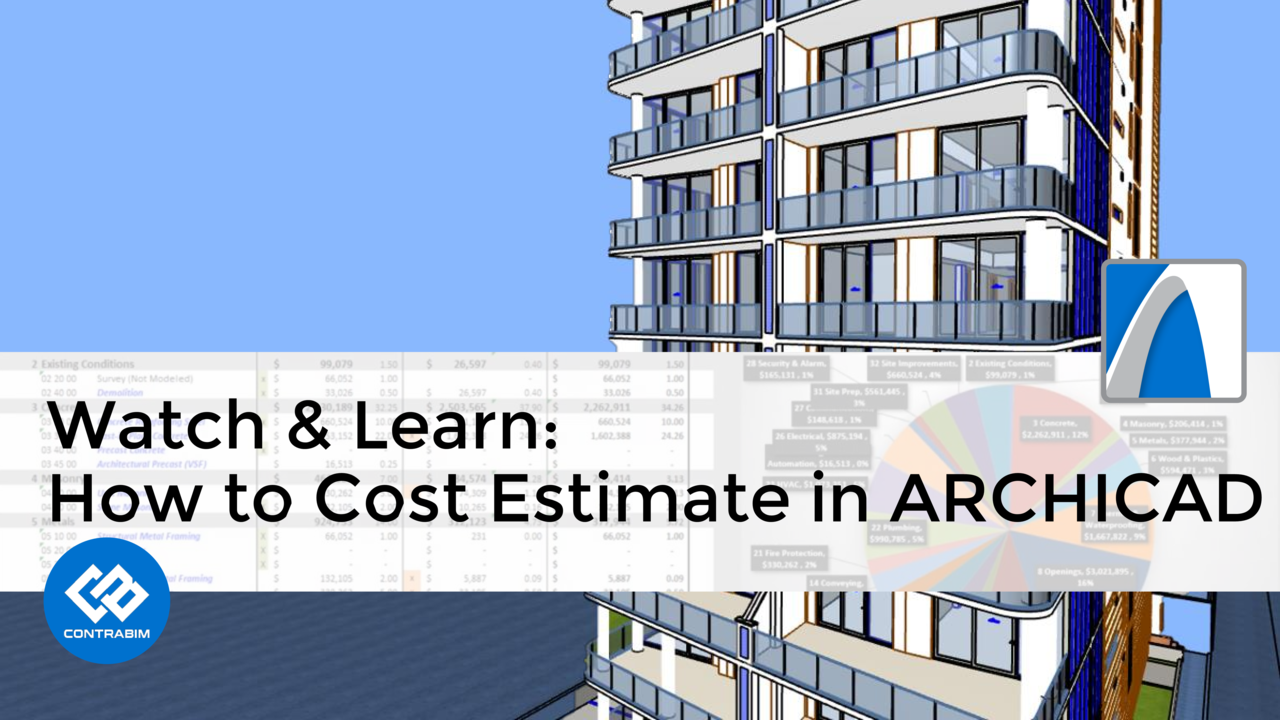
See how quick and easy it can be to produce quantities and cost estimates using the ARC5D Collaborative Template.
Watch is w...

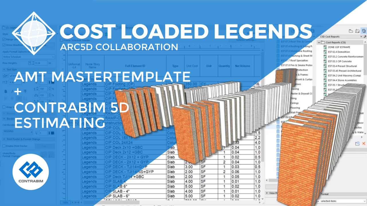
Check out this quick video on the ARC5D Collaborative Template, highlighting CONTRABIM 5D Estimating workflow as applied to t...
Check out this quick video and see this project in action, along with the detailed quantity and cost estimating workflow made...

When adding BIM data to interactive schedules in ARCHICAD, we have several types to choose from.
- General Parameters
- Tools ...
Whenever people ask how to start shaping up their ARCHICAD model in preparation for cost estimating, I always recommend the s...

In this quick video, we'll demonstrate some techniques for replacing PDFs, while being able to archive and compare versions.
...
Google Earth has so many uses! One of my favorites, is the Placemarker! In this blog, we'll review how the placemarker is use...

In this tutorial video, learn some tips for modeling conceptual steel structures for commercial type projects. We'll quickly ...

Saving High Resolution Images (Without Rendering)
When saving a 3D viewpoint, and placing it onto a layout in ARCHICAD, some...

Using the "Coordinate Object" in ARCHICAD allows us to easily create x, y, z values at any given point in the model.
This is...

If you have a bunch of elements, that you need to rename into a specific format, try the Element ID Manager!
This tool, foun...
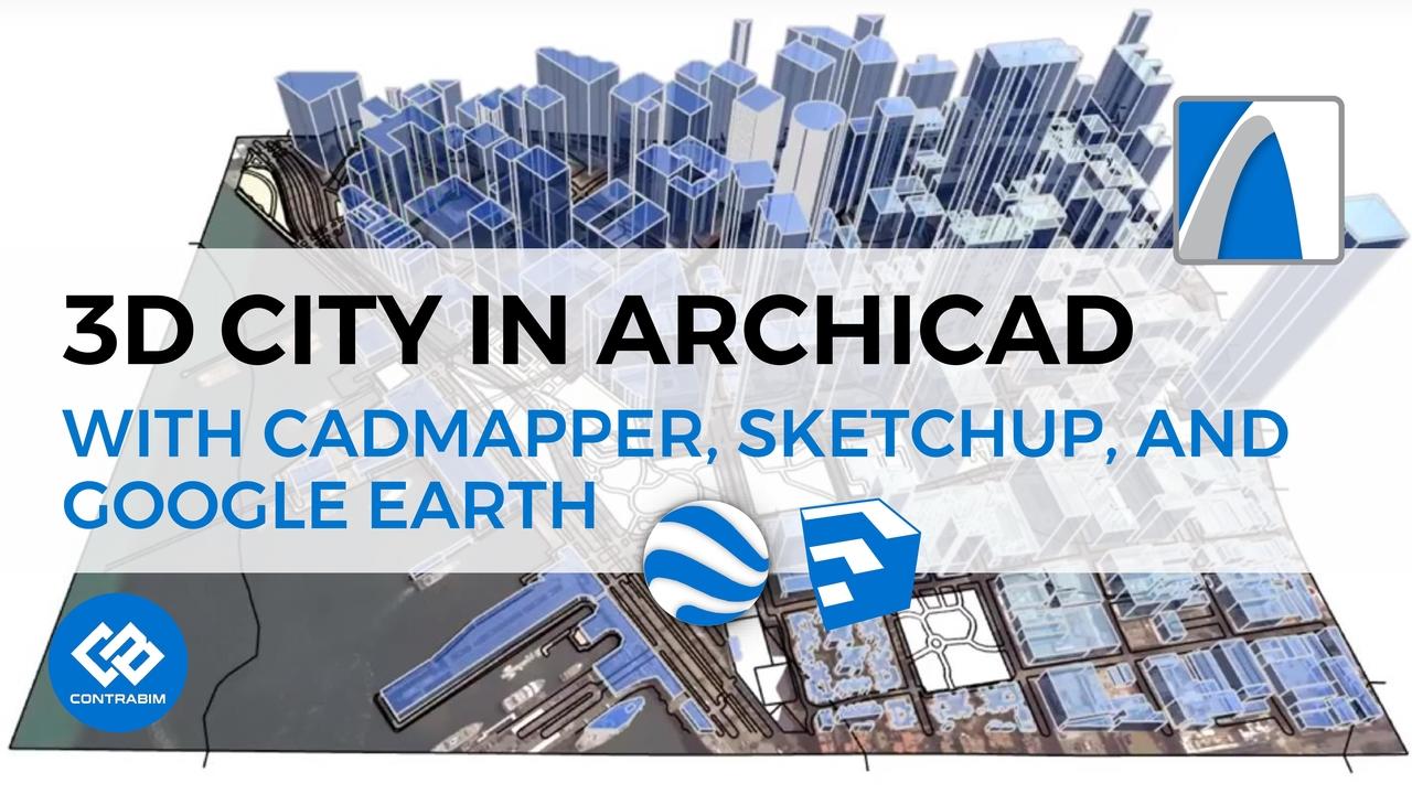
In this tutorial, we'll explore CADMAPPER, a useful, free, online resource for generating 3D site models. Check out the websi...

In this video (originally live-streamed), we'll run through techniques for modeling high-rise concrete structures, while revi...

In this video, join me as we fly around the San Francisco Bay area, as we demonstrate different methods of measurement.
We'l...
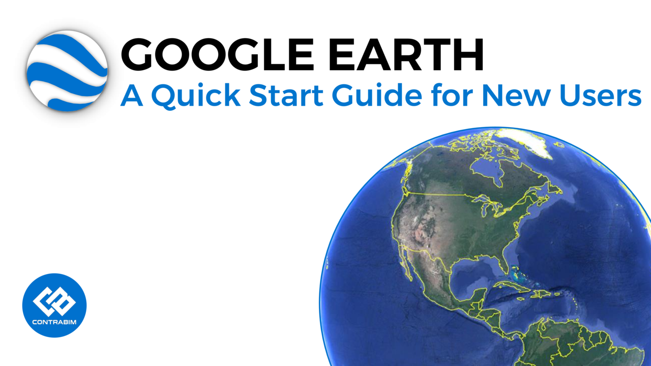
Welcome to CONTRABIM's Quick Start Guide to Google Earth.
In this video we'll cover the basic user interface of this popular...
